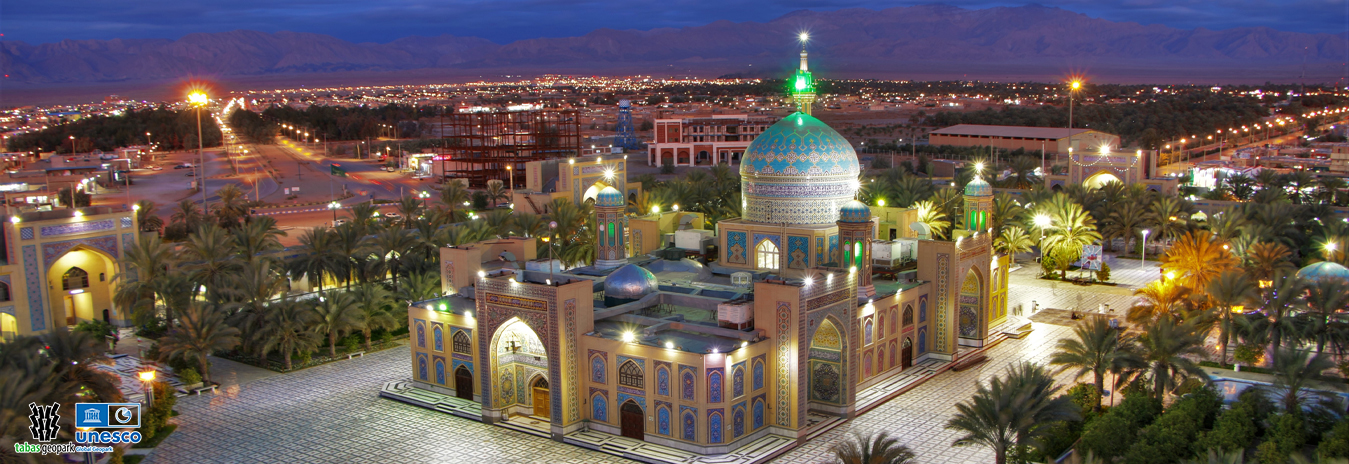
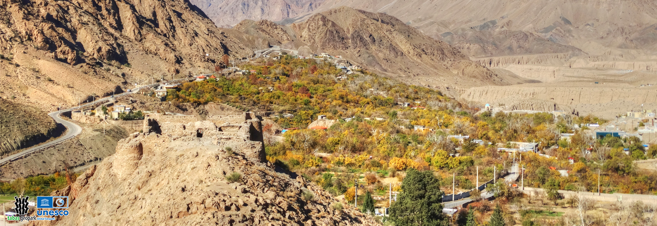
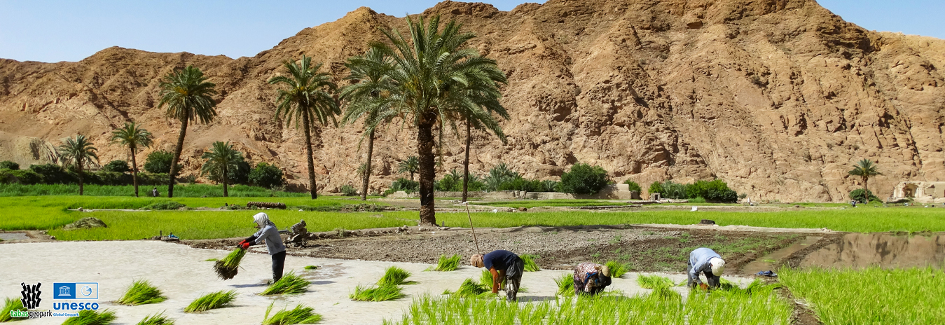
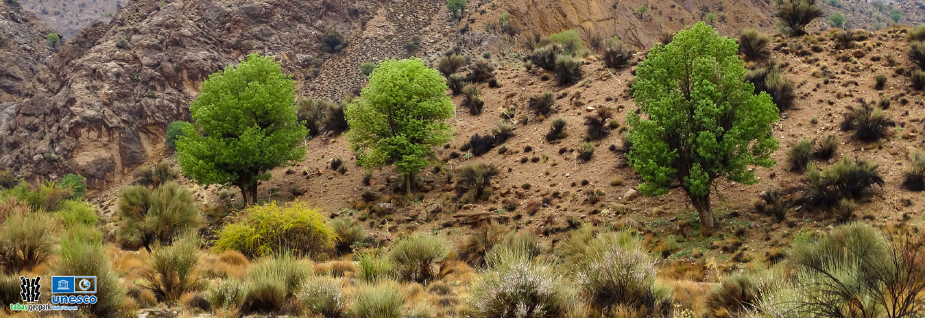
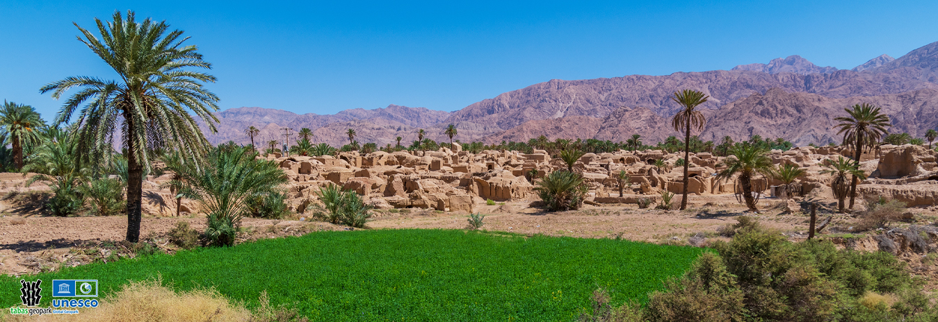
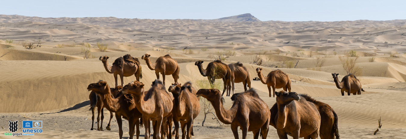
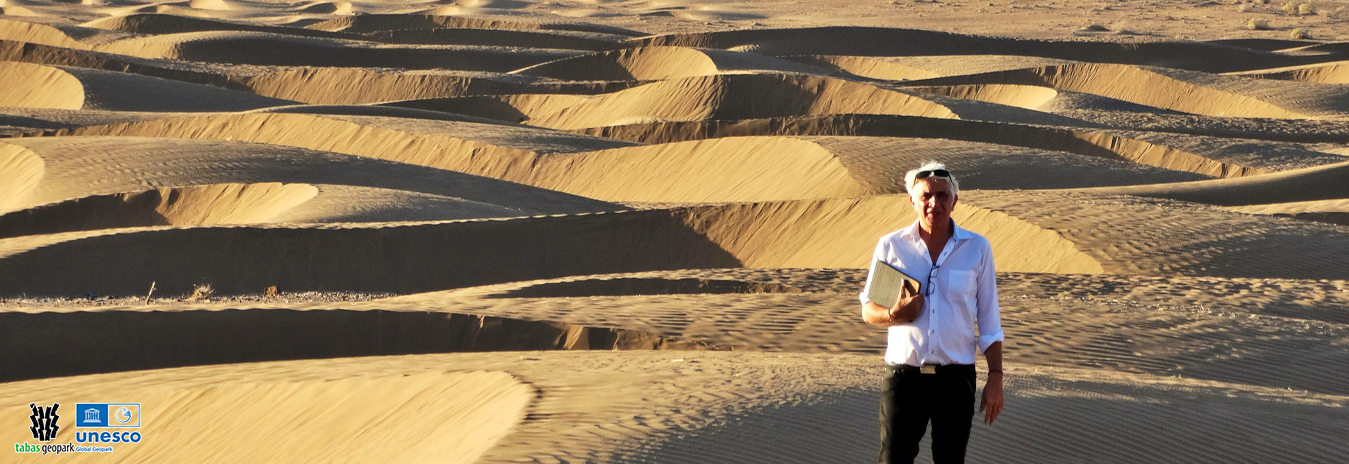
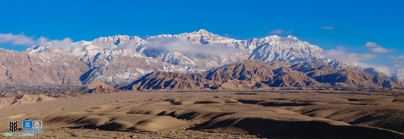
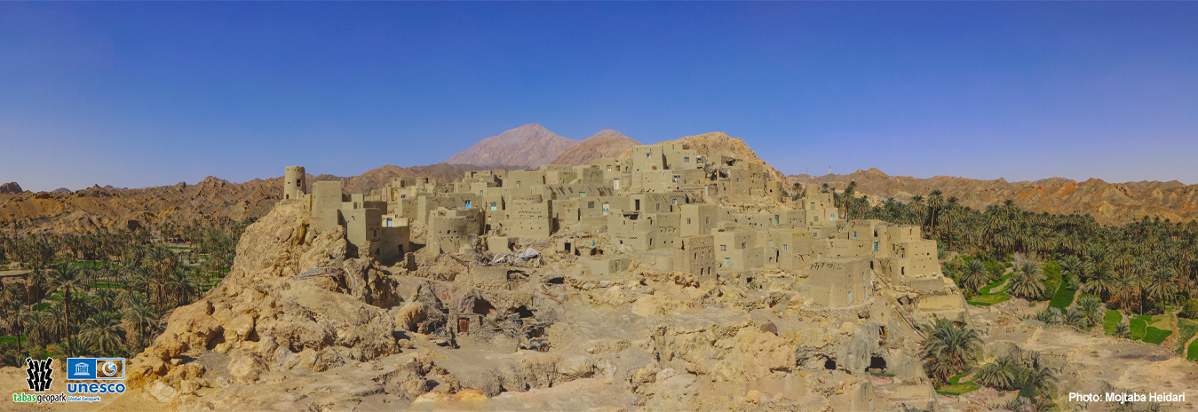
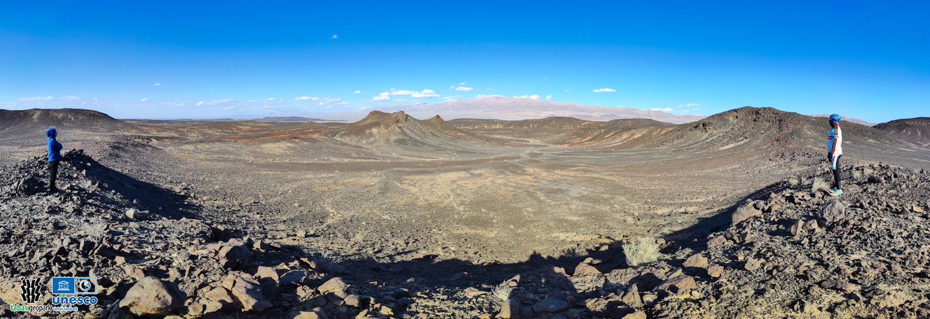
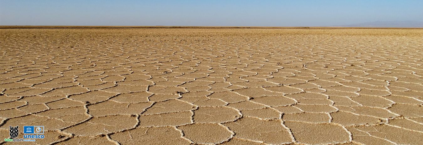
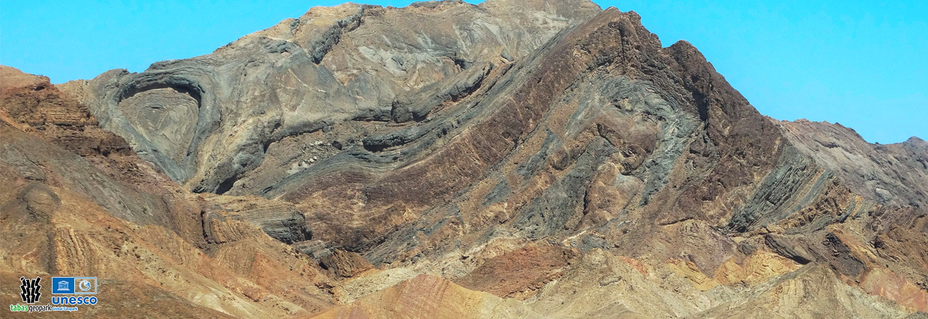
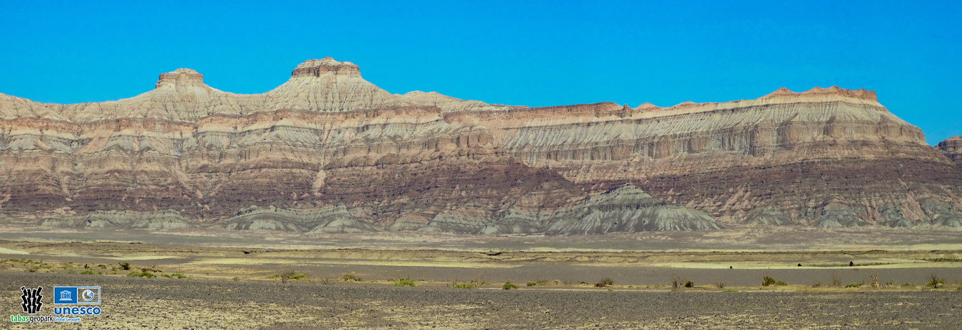
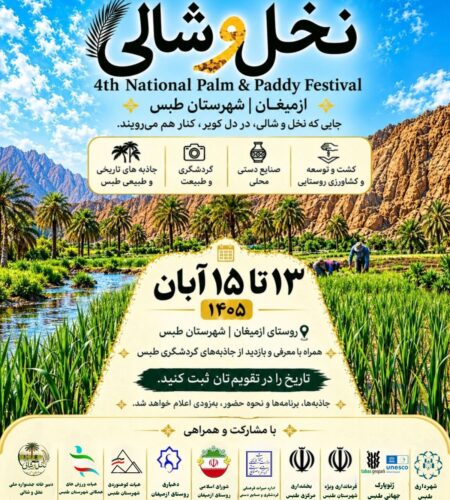
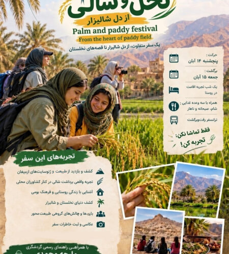
Geosite of Hossein Ibn Musa-Al-Kazem Holy Shrine Spectacular Landscape of Kharv Village Spectacular Landscape of Nahrian Dam, Mehrabani Village and Niyaz Farm Geosite of Ezmighan paddy fields Geosite of Naybandan Wildlife Refuge
Geosite of Senou Forest Habitat Geosite of Esfahk Historical Texture and Shotori Mountains Rig-e-Shotoran Geosite Landscape of Great Sand Dunes, Rig-e-Shotoran Shotori Mountains Geosite Geosite of Nayband Historical Texture Poshteh Seiah and Volcanic Craters Geosite Geosite of Dasht-e-Kavir Salt Polygons Geosite of Kalmard Box Folding Qleh Kah (GHaleh Kah) mount

Definition and History of UGGp

UNESCO has a clear and comprehensive definition of the geopark it invented: a range of clearly defined boundaries and a sufficient area to include some of the rarest and most prominent geological phenomena, with valuable natural, historical and cultural attractions. This extension should have expansion and utilization management plans and conservation plans and be capable of raising the economic level of the local community and attracting public cooperation.

Our position on Google Map

Latest news