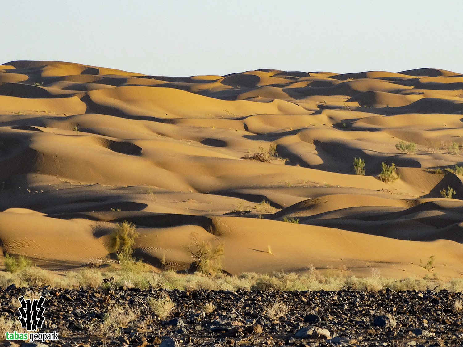
Rig-e-Shotoran geosite is one of the most important and huge sandy areas of Iran, which is located on the southern margin of the Great Desert (Dasht-e-Kavir) in the middle of the Iranian plateau. This area of Tabas Geopark, an ocean of quicksand, covers an area of about 2500 Km2 and has a variety of geomorphological landscapes and landforms. This geosite in the northern parts consists of two large branches called Rig-e-Haji Meji (in the east) and Rig-e-Sargardan (in the west), which are connected to each other in the south and they create Rig-e-Shotoran. The height of sand dunes in this geosite reaches more than 150 meters above the ground. The general trend of these sands is from north to south, and in the southern parts of this geosite, sand dunes are surrounded by topographic barriers (such as mountains). The confluence of mountains and ocean of sand dunes has created spectacular landscape, which is observed in fewer regions of Iran and the world.
– The scientific resources are available in the management of Tabas Geopark.
The use of this article is unrestricted by mentioning the source.