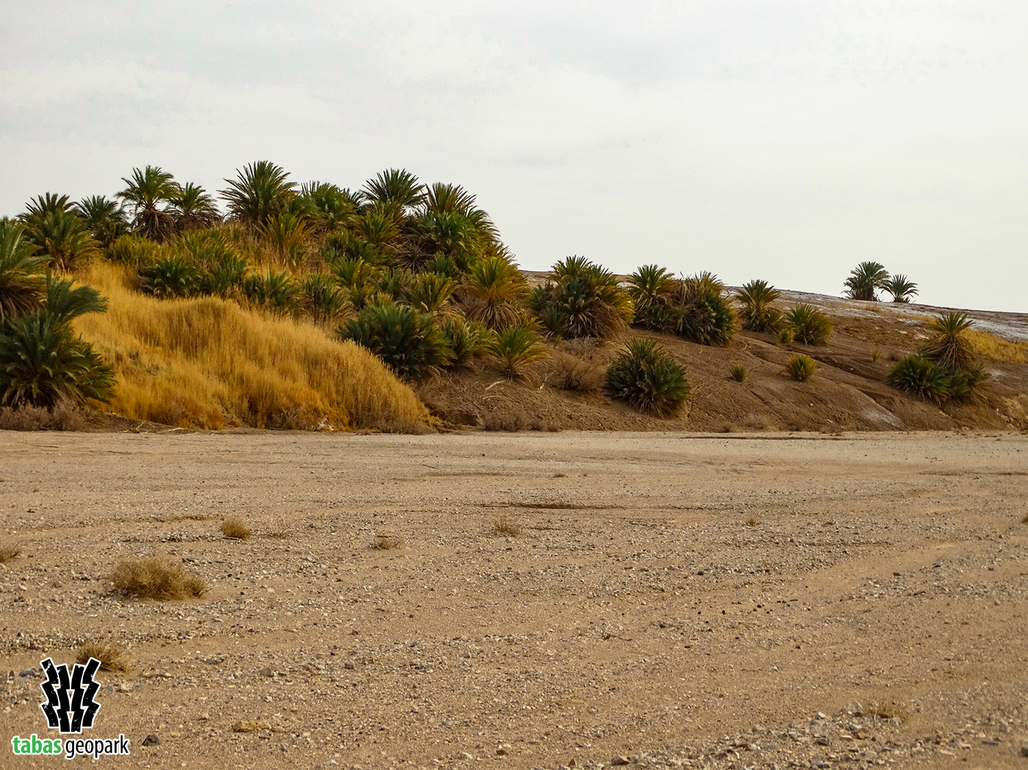
Nayband fault with a length of 650 km and a north-south trend has shown various evidences and activities since about 700 million years ago so far. This evidence, related to the present era, can be seen in Dig-e Rostam, south of Peykuh village (Ab-e-Gram Va Sard region) and near the city of Tabas. Nayband fault is one of the most important and oldest faults in Iran, which is considered as one of the main seismic sources in eastern Iran along with its new tributaries. A large part of Nayband fault is located in Tabas Geopark. The depression of the Tabas hole, Boshruyeh and Bajestan deserts against the Shototi Mountain Range, formation of sedimentary basins, springs, groundwater aquifers, and various minerals, conducting magma to the ground surface and volcanic craters, creating fault escarpement, displacement of Alluvial sediments, and waterways are among the most prominent evidences of the activity of this fault in eastern Iran. In addition, the earthquakes occurred on September 16, 1978 in Tabas and December 26, 2003 in Bam were due to the activity of this fault.
– The scientific resources are available in the management of Tabas Geopark.
The use of this article is unrestricted by mentioning the source.

