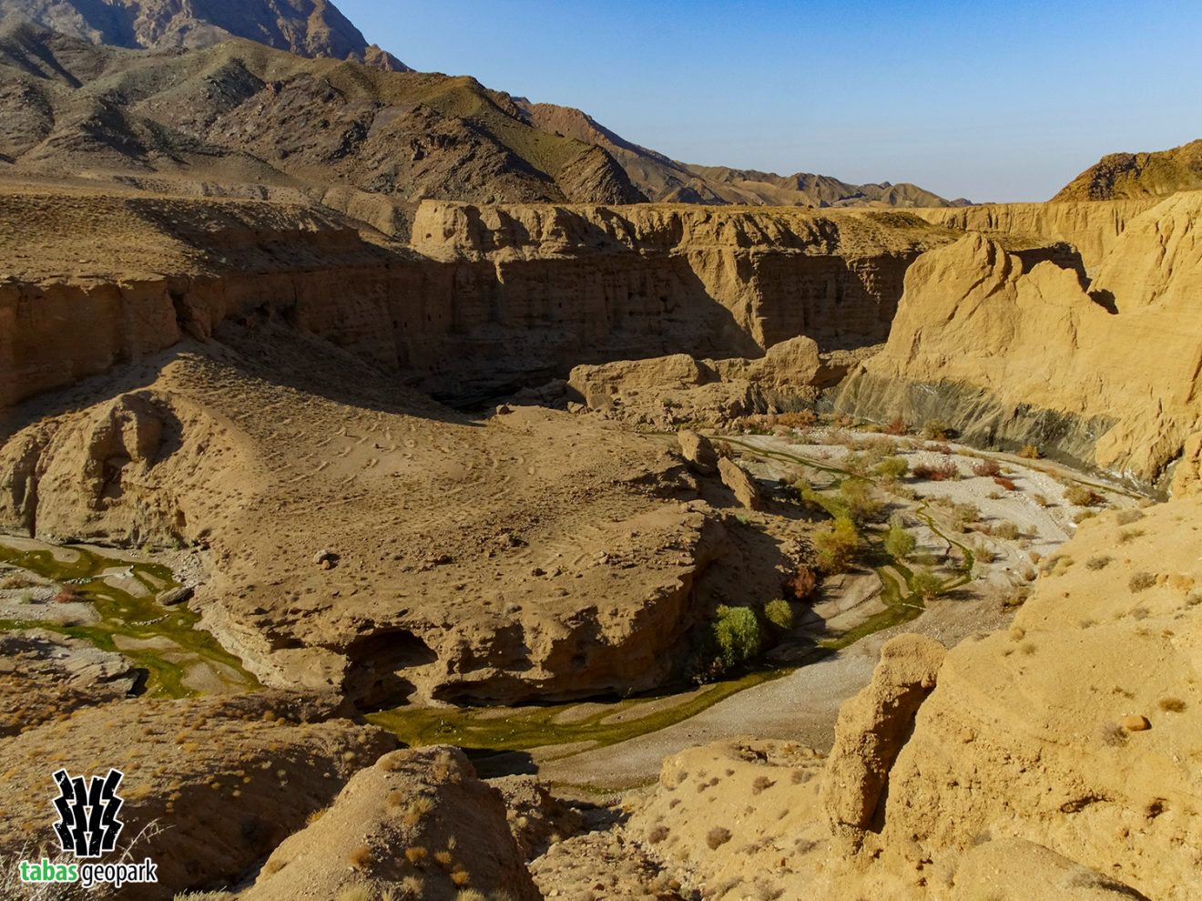
This geosite is located in the east of Tabas Geopark and at a distance of 19 and 27 km from Tabas to Kharv village and Kal-e-Sardar. Meanders are found in different parts of the Sardar River, but the most beautiful examples are at the outlet of the Sardar River from the Shotori Mountain and in the vicinity of Qolat (Gholat) castle, in alluvial sediments of Kal-e-Sardar. They belong to the Quaternary period (dating back to 2.5 million years ago). Due to the active tectonic conditions and the uplift of Tabas region, Sardar river has led to more depression of its bed over time, creating deep valleys along its route. Accordingly, the height of its walls in alluvial sediments reaches 45 meters and attracts the attention of every visitor.
– The scientific resources are available in the management of Tabas Geopark.
The use of this article is unrestricted by mentioning the source.